What is Remote Sensing? (Complete Beginner-Friendly Guide)
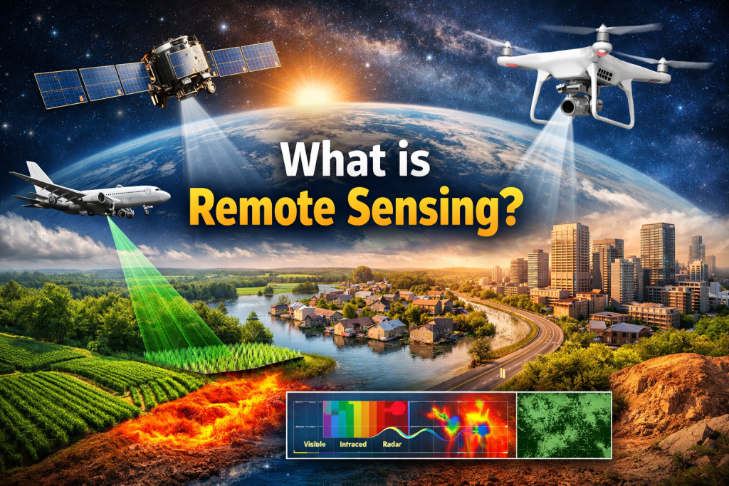
Remote sensing is the science and technology used to collect information about the Earth’s surface without physically touching it.Instead of going to the field and measuring soil, water, crops, or buildings manually, scientists use satellites, drones, or aircraft sensors to observe the planet from a distance. In simple words: Remote sensing means observing Earth from space or air using sensors that measure energy. Today it is one of the most important technologies used in environmental monitoring, agriculture, climate change research, disaster management, and urban planning. How Remote Sensing Works (Basic Concept) Remote sensing works through the interaction of energy and objects. The Sun emits energy (light & heat) Energy travels through the atmosphere Earth objects (water, soil, vegetation, buildings) reflect or emit energy A sensor records that energy The data is processed into images and maps This entire process depends on the Electromagnetic Spectrum — different materials reflect different wavelengths, which allows us to identify them. For example: Healthy plants reflect Near Infrared strongly Water absorbs most wavelengths Urban areas reflect more in visible bands Hot surfaces emit thermal radiation Types of Remote Sensing Remote sensing systems are mainly divided into two categories. 1. Passive Remote Sensing Passive sensors depend on sunlight.They record the energy reflected from the Earth’s surface. Common satellites: Landsat 8 Sentinel-2 Used for: Land Use Land Cover mapping Vegetation health monitoring (NDVI) Water body detection Urban expansion mapping Environmental monitoring These sensors work only during daytime and are affected by clouds. 2. Active Remote Sensing Active sensors produce their own energy and measure the reflected signal. Main satellite: Sentinel-1 (Radar / SAR) Used for: Flood mapping Soil moisture estimation Surface deformation monitoring Monitoring during night & cloudy weather This type works 24/7 because it does not depend on sunlight. What Information Can We Get From Remote Sensing? Remote sensing does not just capture pictures — it measures physical characteristics of the Earth. Measurement What We Learn Reflectance Vegetation health Thermal radiation Surface temperature Radar backscatter Flood & moisture Spectral signature Minerals & crops Time-series data Environmental change Major Applications of Remote Sensing Agriculture Crop monitoring Drought assessment Yield prediction Irrigation management Disaster Management Flood detection Forest fire monitoring Cyclone damage mapping Landslide identification Climate & Environment Climate change analysis Glacier monitoring Deforestation detection Carbon estimation Urban Planning City expansion monitoring Heat island mapping Infrastructure planning Water Resources Surface water mapping Wetland monitoring Water quality assessment Why Remote Sensing Is Important Remote sensing is powerful because it allows us to: Monitor large areas quickly Study past changes (40+ years satellite archive) Access remote or dangerous regions Perform near real-time analysis Reduce field survey cost and time Without remote sensing, modern environmental monitoring and global climate research would be almost impossible. Final Definition Remote sensing is the science of collecting and analyzing information about the Earth’s surface using sensors that are not in direct physical contact with the object. Conclusion Remote sensing has transformed how humans understand the planet. From predicting crop production to monitoring global warming, this technology enables scientists and planners to make informed decisions using data collected from space. It is now a fundamental tool in GIS, environmental science, geography, agriculture, and earth observation research.