Research-based Training on Mastering GIS and Remote Sensing Analysis with Google Earth Engine

5 Available Seats with 50% Discount
Google Earth Engine

Class Start: 4th May, 2026

Admission Last Date: 3rd May, 2026

Booking Last Date:  3rd May, 2026

Total Class: 14 days (One day a week- Monday)

Time: 9:00 P.M. (GMT+6) to 12:00 A.M.

Class Durations: 3 hours (Each day)

Online Training Mode: Google Meet

Language Mode: English 

For Registration Contact this Email: rmijanur10266@gmail.com

Or WhatsApp 24/7: +8801780942798

Fee: 1000 USD

1st 10 Registered people get a 50% discount only 500 USD

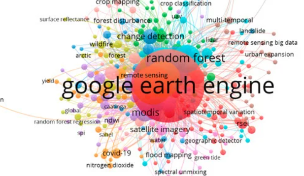
Registration is now open for a private 14-day Research-based training on Mastering GIS and Remote Sensing analysis with Google Earth Engine. Are you passionate about remote sensing and GIS applications? Do you want to enhance your skills and knowledge in this cutting-edge field? We are thrilled to announce our upcoming Private Online Training Program, designed to equip you with the latest tools and techniques for analyzing and monitoring our changing environment.

Remote Sensing & GIS Project-Based Content List

  • RUSLE Model for Erosion Risk Mapping
    • Project: Calculate annual soil loss for a hilly agricultural area using RUSLE in GEE and ArcGIS.
  • NDVI Change Detection for Forest Degradation Monitoring
    • Project: Detect forest health changes over 20 years in a national park using Landsat NDVI.
  • Rainfall Pattern Analysis (Monthly, Seasonal & Annual)
    • Project: Analyze rainfall variability in a drought-prone region using CHIRPS dataset.
  • LULC Classification using Machine Learning
    • Project: Perform supervised classification of urban expansion using Random Forest in GEE.
  • LST & NDVI Time Series Analysis for Urban Heat Island
    • Project: Compare vegetation health & temperature trends for urban vs rural zones.
  • Satellite-Based Aridity Index for Drought Assessment
    • Project: Map drought severity for agricultural regions using MODIS-derived Aridity Index.
  • LST Monitoring using Landsat
    • Project: Generate seasonal LST maps for the past decade to identify temperature hotspots.
  • Linear Regression & Trend Analysis of Climate Variables
    • Project: Identify rainfall trends using ERA5 dataset with linear regression in GEE.
  • Mann-Kendall NDVI Trend Analysis
    • Project: Detect long-term greening or browning trends for a semi-arid region.
  • VCI, TCI & VHI Monitoring
    • Project: Build vegetation condition maps for drought early warning.
  • Deforestation Detection using Machine Learning
    • Project: Identify illegal logging areas using Sentinel-2 & Random Forest classification.
  • Slope Classification & Area Calculation
    • Project: Generate slope maps for infrastructure planning using SRTM DEM in GEE.
  • NDVI Classification & Area Calculation
    • Project: Classify vegetation density levels and estimate coverage area.
  • Raster Value Extraction from GPS Points
    • Project: Extract NDVI & LST values from GPS field samples for validation in Excel.
  • Monitoring Bioclimatic Variables
    • Project: Map global climate zones using WorldClim bioclimatic datasets.
  • Monthly Evapotranspiration Monitoring
    • Project: Estimate monthly ET for irrigation management using MOD16A2 dataset.
  • Soil Salinity Mapping
    • Project: Map salinity-prone zones using multi-temporal salinity indices.
  • Landslide Susceptibility Mapping
    • Project: Combine slope, rainfall & LULC data to identify landslide-prone areas.
  • Flood Mapping using Sentinel-1 SAR
    • Project: Detect flooded zones & calculate area after a major flood event.
  • NDVI Trend Analysis for Crop Health
    • Project: Monitor agricultural productivity changes over time.
  • Agricultural Land Suitability Mapping
    • Project: Integrate soil, slope & climate parameters to map suitable crop zones.
  • Livestock Suitability Mapping
    • Project: Identify grazing potential areas using vegetation & water proximity.
  • Future LULC Prediction using CA-Markov
    • Project: Predict urban growth for the year 2040 using historical LULC maps.
  • Bareland & Built-up Mapping using EBBI
    • Project: Detect bare soils and urban sprawl using Landsat data.
  • Flood Risk Mapping
    • Project: Combine flood hazard, exposure & vulnerability layers for risk assessment.

Online training Benefit

  • 1. Course Completion Certificate: Receive verifiable e-certificate upon successful completion of assignments. (Check the certificate)
  • 2. Comprehensive Training Materials: Access detailed slides and PDFs to enhance your learning experience.
  • 3 . Practice Codes: Get complete access to all practice codes used during the training.
  • 4. Recorded Sessions: Enjoy unlimited access to all recorded classes for future reference.
  • 5. Lifetime Support: Benefit from ongoing teaching support, even after the training ends.
  • 6. Research Collaboration: Explore opportunities to collaborate on publishing scientific papers.

Reviews

There are no reviews yet.

Be the first to review “Research-based Training on Mastering GIS and Remote Sensing Analysis with Google Earth Engine”

Latest Course

1,000.00$

Online Training Benefits